Drone and Topographic Surveying - Tejyog Infratech

Drone & Topographic Surveying

Drone & Survey

High-Precision Aerial Mapping, DGPS Surveying & Geospatial Data for Smarter Infrastructure Planning.

Drone DGPS and Topographic Survey Services
DRONE & TOPOGRAPHIC SURVEY

Drone, DGPS & Topographic Survey

Accurate Geospatial Data for Better Planning & Infrastructure

Drone, DGPS & Topographic Survey Services

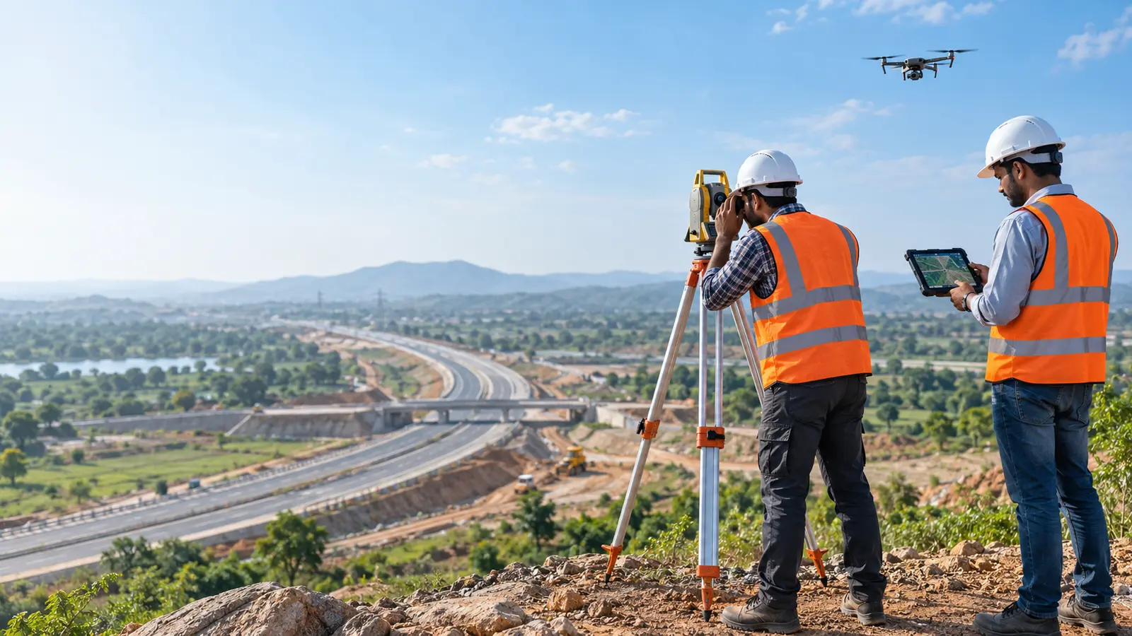
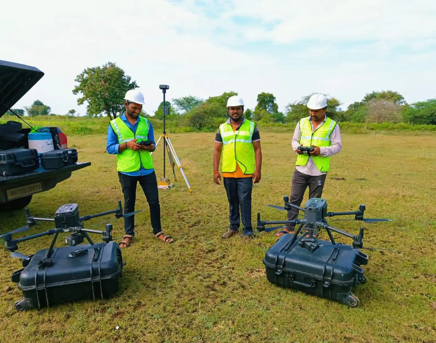
Tejyog provides high-accuracy surveying using DGPS, drone mapping, LiDAR, and spatial technologies to generate reliable terrain and geospatial data for planning, CAD, and engineering workflows.

DGPS Surveying • Drone Mapping • LiDAR • Topographic Survey • 3D Terrain Modeling

Our Survey Capabilities

Key Service Offerings

DGPS Survey

Precision Positioning

Ground Control Point (GCP) Networks

Boundary & Coordinate Surveys

High-Accuracy Geo-Referencing

Drone Survey & Mapping

Aerial Geospatial Survey

Aerial Mapping & High-Res Orthomosaics

Corridor & Drone Topographic Surveys

Construction Progress Mapping

LiDAR Survey

Laser-Based Spatial Data

Point Cloud Data Acquisition

Terrain Extraction & Elevation Analysis

Detailed Surface Mapping

Topographic Survey

Terrain & Engineering Surveys

Contour & Spot Level Mapping

Feature Mapping for Roads & Infrastructure

Site-Level Engineering Surveys

3D Terrain Modeling

Digital Terrain Intelligence

Digital Elevation / Terrain Models (DEM/DTM/DSM)

3D Surface Modeling & Contour Generation

Technical Showcase

High-Precision Geospatial Surveying

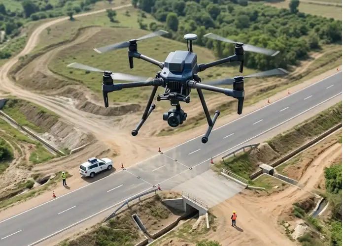
DGPS ground control, aerial drone mapping, LiDAR data acquisition, and topographic field surveying support accurate terrain analysis and engineering-ready spatial information.
DGPS Ground Control Point Networks
Aerial Mapping & Orthomosaic Generation
LiDAR Point Clouds & Elevation Analysis
CAD & GIS-Ready Survey Data
Drone and Topographic Survey technical imagery

DGPS Survey • Drone Mapping • LiDAR • Topography

Project Documentation & Outputs

Key Deliverables

Orthomosaic Maps & Point Clouds

DEM / DTM / DSM Datasets

Contour & Topographic Plans

CAD Drawings & GIS Spatial Data

Our Project Delivery Flow

Survey Planning
GCP Control Setup
Aerial/Ground Data Acquisition
Processing & Modeling
Spatial Validation
Deliverable Export

Project Enquiry

Let’s Discuss
Your Project.

Tell us what you are planning, where your project is located and the support you require. TEJYOG INFRATECH brings together engineering insight, field intelligence and data-driven planning to understand infrastructure requirements with clarity and purpose.

Survey Analyse Plan Design
Our Location

Nashik, Maharashtra, India

Designing Smarter Cities with Data-Driven Planning.

Tell us about your requirement

Send an Enquiry

Share a few essential details and our team can understand the context of your requirement. Fields marked * are required.

Your details are used only to review and respond to this project enquiry.

Scroll to Top