DGPS Survey
Precision Positioning
Ground Control Point (GCP) Networks
Boundary & Coordinate Surveys
High-Accuracy Geo-Referencing


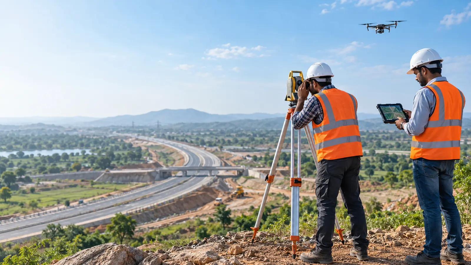
Tejyog Drone Survey services by Tejyog Infratech Nashik combine high-precision aerial mapping, DGPS surveying, LiDAR and geospatial data collection for smarter infrastructure planning across India.
Tejyog Drone Survey services support infrastructure planning and engineering through accurate aerial mapping, DGPS surveying, LiDAR technologies and topographic data collection. Based in Nashik, Maharashtra, Tejyog Infratech provides geospatial information for urban and regional planning, statutory Development Plans (DP), transportation infrastructure, roads, bridges and engineering projects.
Our surveying approach connects field measurements with geographic information, helping technical teams understand site conditions, terrain characteristics and spatial relationships. Drone-based mapping, DGPS observations and GIS integration support reliable documentation for planning assessments, engineering drawings, infrastructure studies and development proposals.
Tejyog Drone Survey Nashik brings together surveying expertise and modern geospatial methods to assist government departments, Urban Local Bodies (ULBs), development authorities and infrastructure stakeholders. These services can support project feasibility, land-use studies, site evaluation, mapping requirements and the preparation of technical planning deliverables.
From initial survey requirements to spatial data preparation, Tejyog Topographic Survey capabilities support more informed planning and engineering decisions. Organisations seeking Drone Survey Services Nashik or technical assistance with DGPS Survey Services can contact TEJYOG to discuss their project location, survey objectives, deliverables and technical requirements.
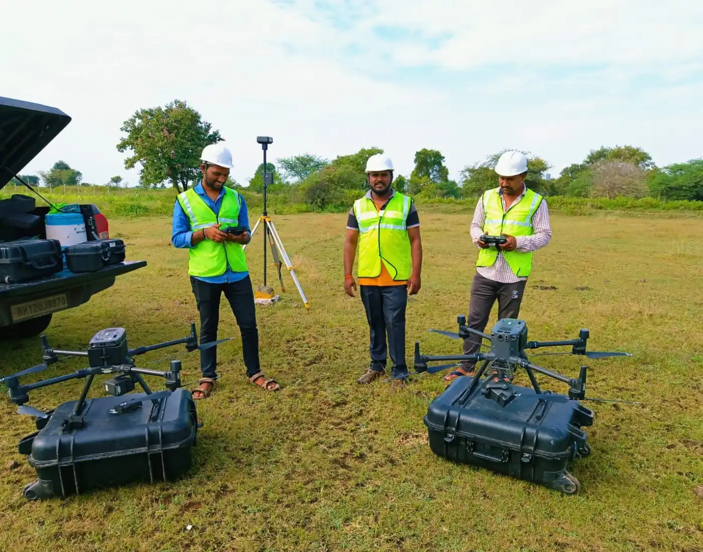
Drone, DGPS & Topographic Survey
Drone, DGPS & Topographic Survey Services
Tejyog provides high-accuracy surveying using DGPS, drone mapping, LiDAR, and spatial technologies to generate reliable terrain and geospatial data for planning, CAD, and engineering workflows.
Our Survey Capabilities
Precision Positioning
Ground Control Point (GCP) Networks
Boundary & Coordinate Surveys
High-Accuracy Geo-Referencing
Aerial Geospatial Survey
Aerial Mapping & High-Res Orthomosaics
Corridor & Drone Topographic Surveys
Construction Progress Mapping
Laser-Based Spatial Data
Point Cloud Data Acquisition
Terrain Extraction & Elevation Analysis
Detailed Surface Mapping
Terrain & Engineering Surveys
Contour & Spot Level Mapping
Feature Mapping for Roads & Infrastructure
Site-Level Engineering Surveys
Digital Terrain Intelligence
Digital Elevation / Terrain Models (DEM/DTM/DSM)
3D Surface Modeling & Contour Generation
Technical Showcase
DGPS ground control, aerial drone mapping, LiDAR data acquisition, and topographic field surveying support accurate terrain analysis and engineering-ready spatial information.
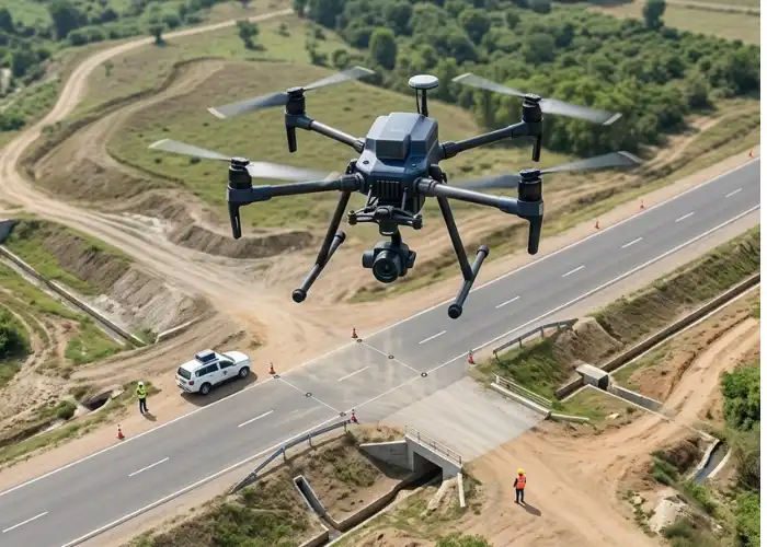
DGPS Survey • Drone Mapping • LiDAR • Topography
Project Documentation & Outputs